Drone Training
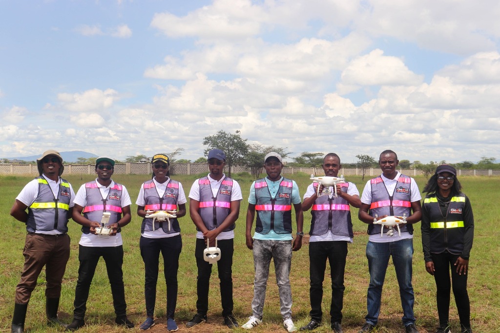
Unmanned Aerial Vehicles (UAVs), commonly known as drones, have emerged as invaluable tools for applications in various fields, including but not limited to surveying and mapping, agricultural monitoring, filming and photography. Due to the high-risk factor posed by drones flying in the airspace shared by other manned aircraft, the Kenya Civil Aviation Authority (KCAA) regulates the operations of the drones’ space to ensure safety is observed. Some regulations include: all drones should be fully registered; the drone operator must be a Remote Pilot Licence (RPL) holder; one must seek authorization from KCAA before undertaking any drone flight mission.
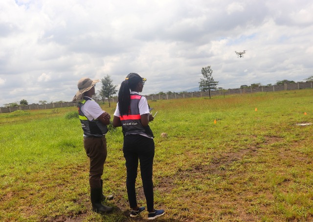
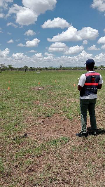
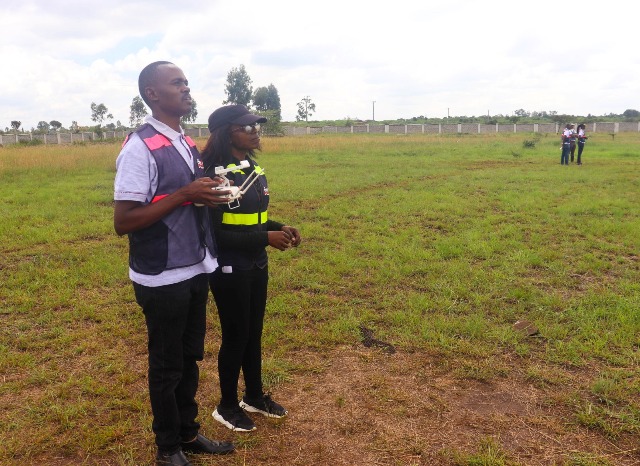
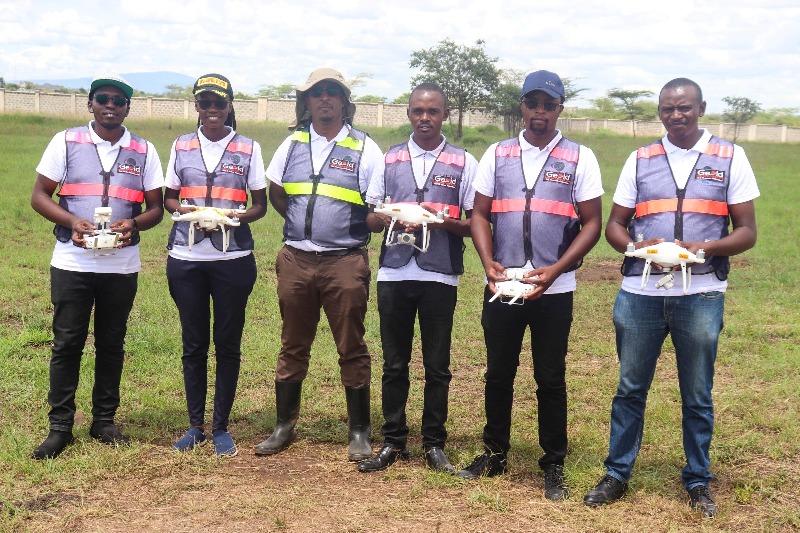
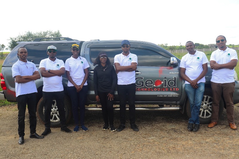
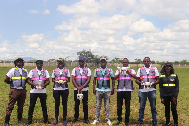
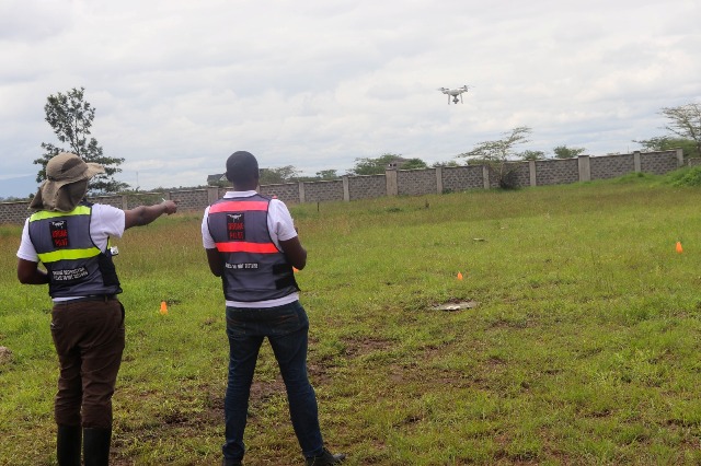
As part of the University's ongoing commitment to capacity building and technological advancement, the Remote Sensing Research Group (RSRG) and the Institute of Geomatics, GIS and Remote Sensing (IGGReS) teams recently completed a rigorous 2-week theory and practical drone training program under the CITGI4Muringato project. This comprehensive training, conducted by Geoid Technologies Limited, has equipped our team members with the necessary skills and knowledge to meet the requirements of drone flight operations. I am pleased to announce that the training was successfully completed, with each team member earning their Remote Pilot Licences (RPLs), a significant achievement that underscores their dedication and commitment to our University's technological agenda.
With the RPLs, the team can legally operate the newly acquired University drone, which is an excellent plus for the University's technological agenda.